San Joaquin County Evacuation Maps
Lathrop, California

(These are not FEMA Flood Insurance maps)

LATHROP SOUTHEAST SECTOR
RALLY POINTS

Rally points are places to seek help if you cannot leave the area on your own
Green lines on the streets indicate routes to take to leave the area during an evacuation.


Click on a rally point to see the aerial view of that area.
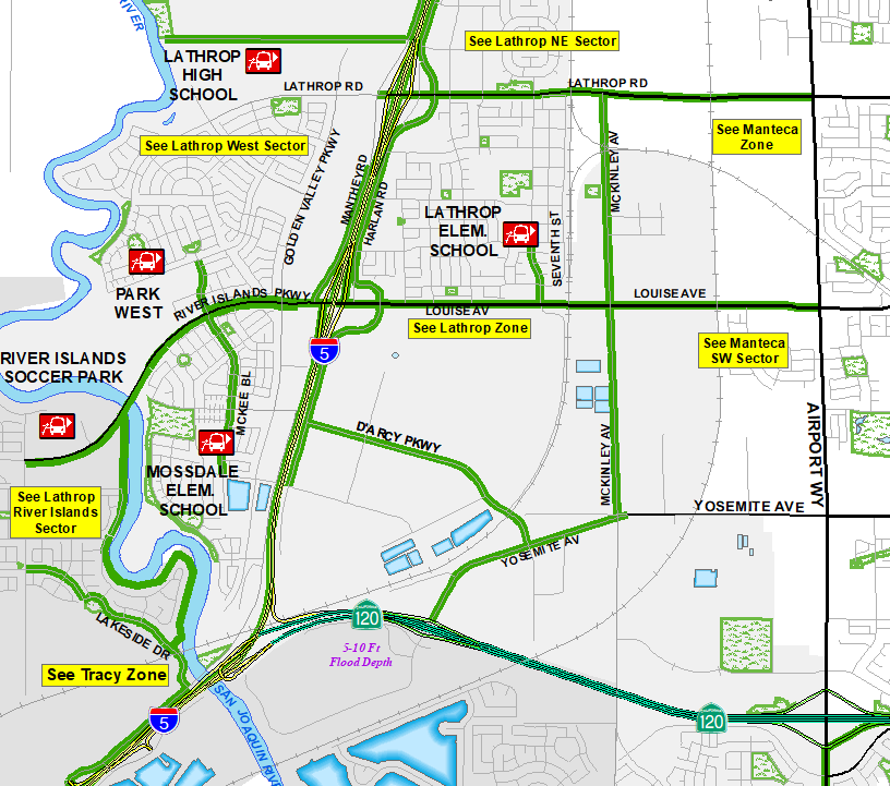

Lathrop Southeast Park West Lathrop High School Lathrop Elementary School River Islands Soccer Park Mossdale Elementary School Lathrop Northeast Sector Lathrop West Sector Lathrop River Islands Sector Lathrop Zone Tracy Zone Manteca Southwest Sector Manteca Zone


Links to Lathrop
Southeast Sector
Brochures and Map

   Brochure (English)
   Folleto (Spanish)


PDF map of Lathrop
Southeast Sector

   (English)
   (Spanish)


Links to Nearby
Evacuation Zones

   Lathrop West Sector
   Lathrop Northeast Sector
   Lathrop River Islands Sector
   Lathrop Zone
   Manteca Souhtwest Sector
   Manteca Zone
   Tracy Zone

   Countywide View

NEWS:
2023-12-07: Creating the beta version of this webpage.
2024-01-09: Finalizing the web page.

LEGAL DISCLAIMER:
This map and information is for reference purposes only and is not to be construed or used as a legal document or survey instrument. Any reliance on the information contained herein is at the user's own risk and should be verified by independent analysis. This information is broad-based and for your convenience. This information should not be relied on for decisions related to purchasing or developing land. The County of San Joaquin gives no warranty, express or implied, as to the accuracy, reliability, utility or completeness of this information.