Land Use 1960 Archive

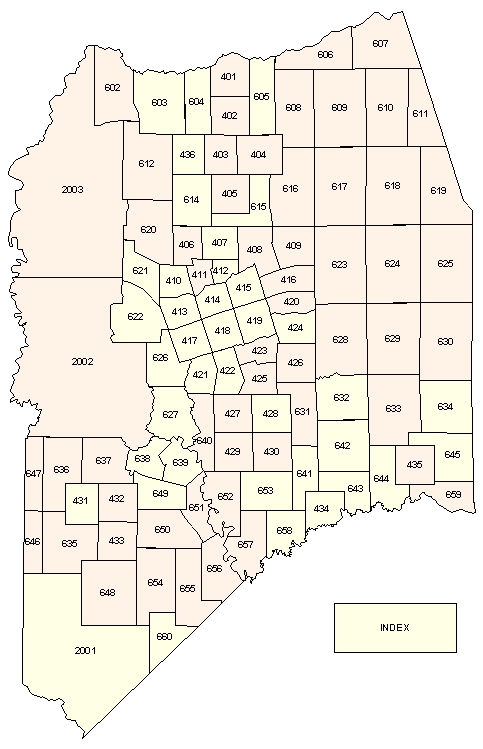
Click within the index below to view the associated map (PDF).

Reference: Standard Land Use Coding Manual, 1965 ed (pdf)

NOTE: These are large files.
NOTE: Yellow-colored areas have single-page maps, peach-colored areas have multi-page maps.

607 606 2003 602 401 605 604 610 611 609 603 608 402 612 436 404 403 618 619 617 616 614 405 615 620 625 624 623 406 407 409 408 621 411 412 415 410 416 2002 622 414 420 413 419 630 629 628 418 424 417 626 423 426 422 421 425 632 633 634 631 627 640 428 427 642 429 645 430 638 639 647 636 637 644 435 641 651 649 652 653 643 659 432 431 434 650 657 658 646 635 433 656 654 655 648 2001 660 INDEX Map